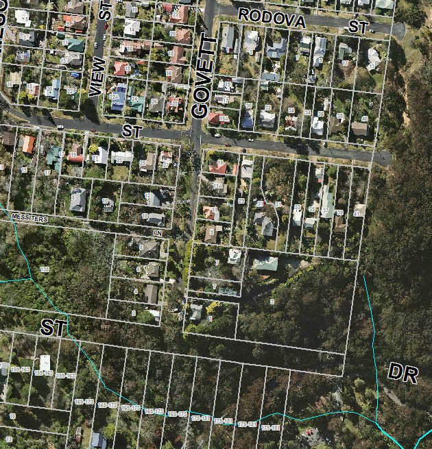
Map of work area
The Govett St bushcare site is at the southern end of Govett St, Leura on the unformed part of the road. (See Map below). The site contains areas of remnant warm-temperate rainforest, Eucalyptus piperita Open Forest and borders areas of Blue Mountains Hanging Swamp, an endangered ecological community. These swamps contain habitat for threatened species such as the Leura Skink, and also perform important hydrological functions by soaking up, filtering, purifying and storing water to release slowly into adjacent creeks and waterfalls.
The vegetation corridor forms a link between activities of other Bushcare Groups actively working above and below in Vale Street, Cumberland Walkway, Lone Pine and Leura Park and is adjacent to Leura Cascades which is part of the Blue Mountains World Heritage Area. This corridor encompasses areas of great biodiversity value linking large amounts of hanging swamp, warm-temperate rainforest and open forest creating habitat for many different species of fauna and flora.
The group targets weeds such as privet, holly, blackberry, Japanese honeysuckle, scotch broom, montbretia, jasmine, weed grasses, aluminium plant, knotweed and flatweed.
Highlights include:
- construction of drainage basin at top of site to deal with stormwater flows;
- planting out of both sides of entrance with native plants;
- placing coir logs across a slope to minimize erosion and catch sewer leaks from SW pop tops in Waratah Street;
- large weed plume of privet controlled in Waratah Street;
- slopes below site free of mature holly and other woody weeds.